All Posts

All the Stamen data visualization history you can handle, now on Medium!

Stamen has been working on data visualization projects for 15 years(!)  –  with nine years of blog posts on our work…scattered across a potpourri of blogging platforms. As of today, all our posts from yesteryear have been migrated over to our Medium publication, Hi.Stamen.com.

We hope you’ll enjoy looking back at some of our work with us. If you aren’t already following @stamen on Twitter now is a good time to start! Kindled by migrating 200+ posts of Stamen’s project work, we’re planning to post semi-regular #TBT’s for a bit, referencing work from the past. Such as:
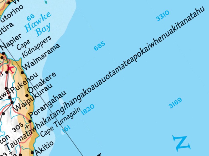
Taumatawhakatangihangakoauauotamateapokaiwhenuakitanatahu

This week in Stamen history:

Back in 2011 we launched our first iPad app with Nat Geo, in 2010 we announced the launch of Polymaps, and in 2009 we talked about our USAID maps used in the Afghanistan election coverage

Published: 08.15.16
Updated: 09.20.22

About Stamen

Stamen is a globally recognized strategic design partner and one of the most established cartography and data visualization studios in the industry. For over two decades, Stamen has been helping industry giants, universities, and civic-minded organizations alike bring their ideas to life through designing and storytelling with data. We specialize in translating raw data into interactive visuals that inform, inspire and incite action. At the heart of this is our commitment to research and ensuring we understand the challenges we face. We embrace ambiguity, we thrive in data, and we exist to build tools that educate and inspire our audiences to act.