
That’s really really where I’m going to
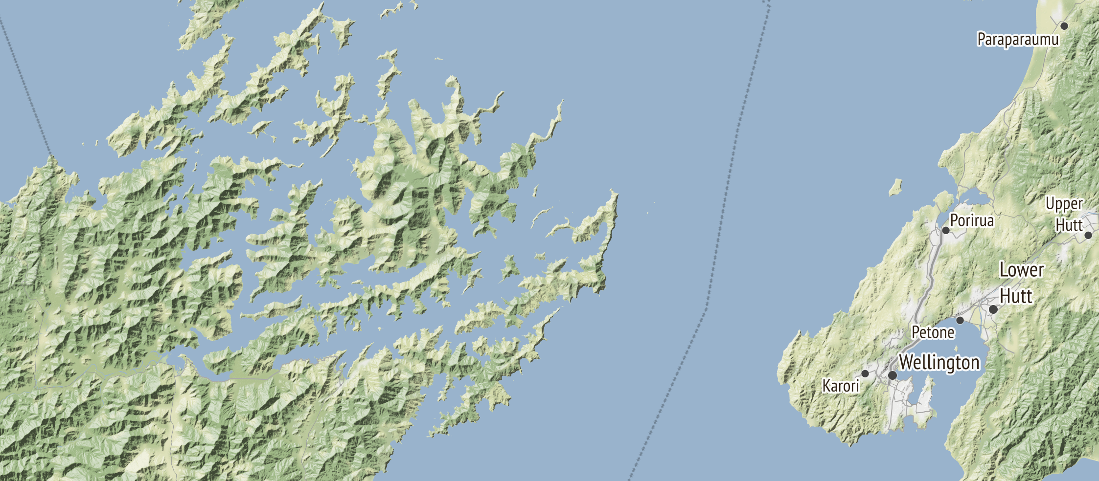
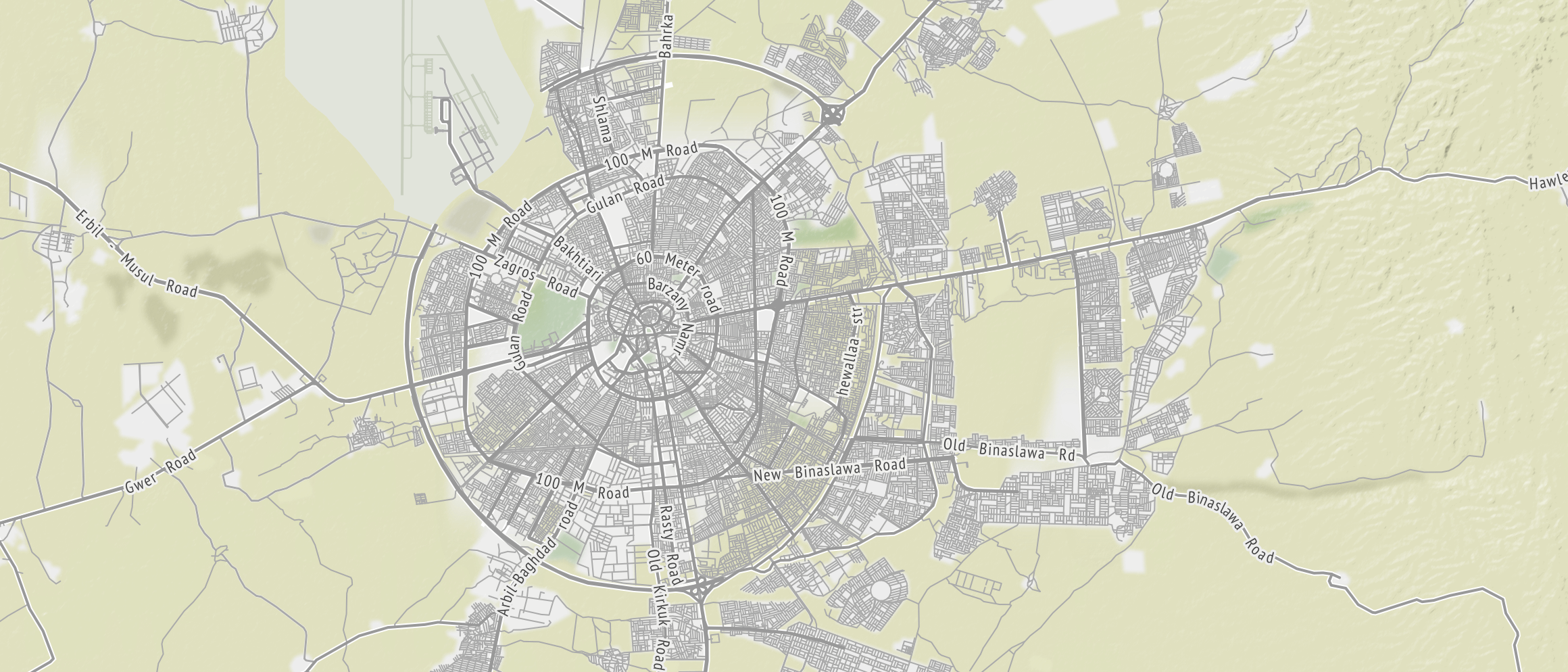
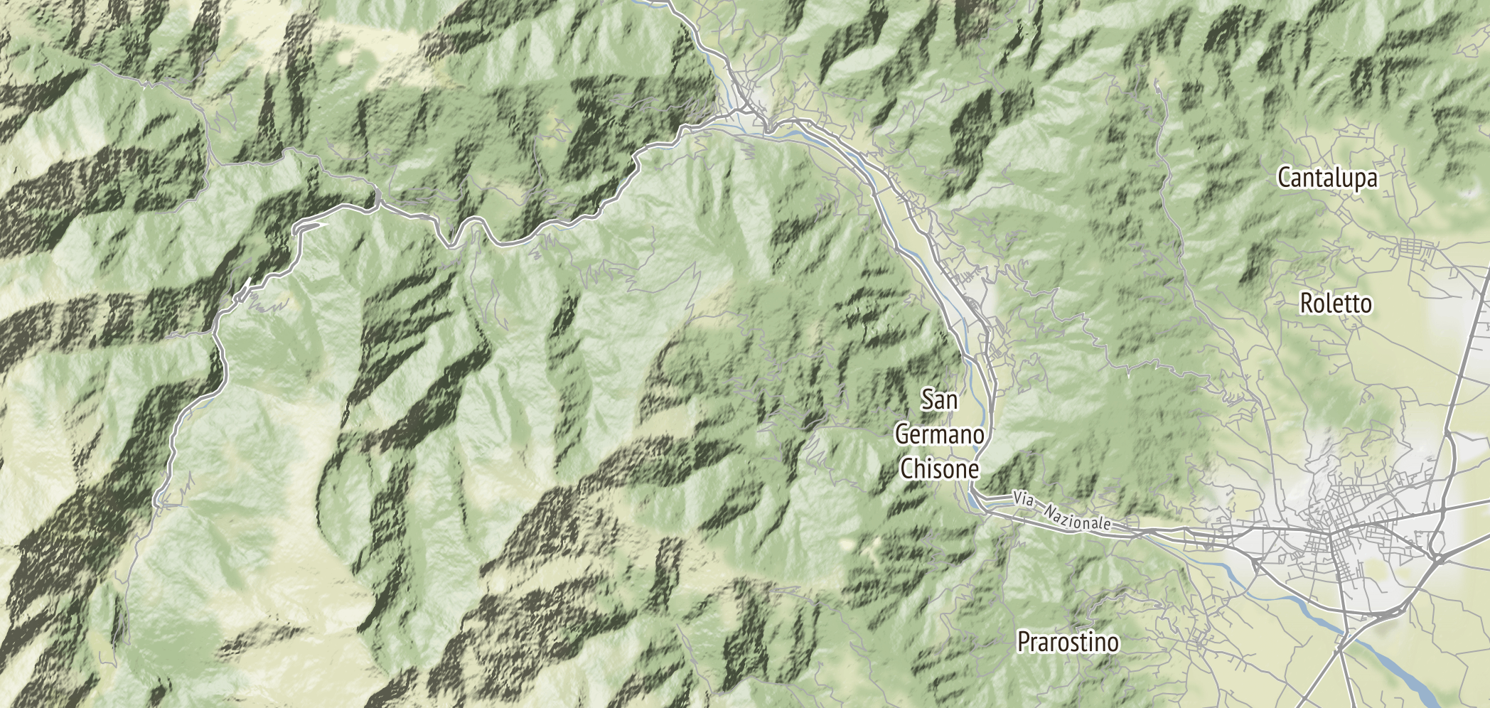
As of today we are live! with a new and improved global version of our terrain map, first launched with the support of the Knight News Challenge, an initiative of the John S. and James L. Knight Foundation, and generously supported by a follow on grant from Knight.
Web mapping has come a long way since we launched the project, and it’s great (and a little scary) to see that maps.stamen.com has more than doubled in monthly usage since August 2014, when it was already pretty high.
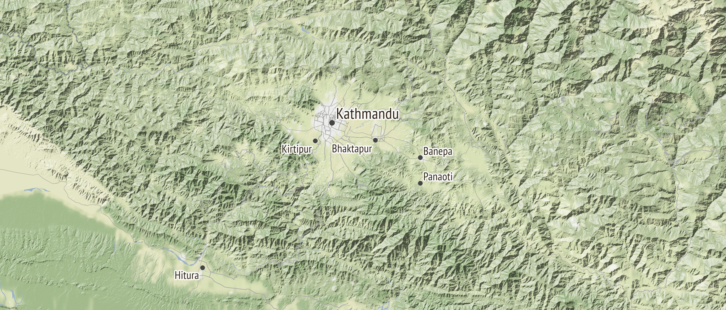
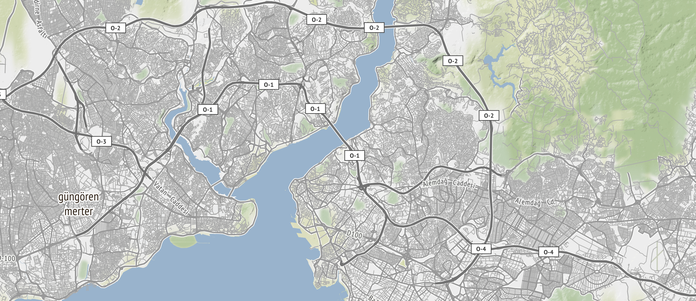
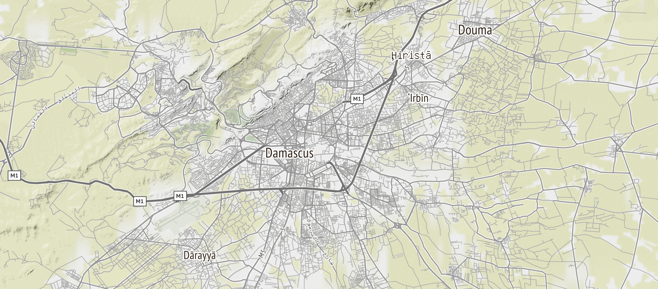
Now that MapQuest’s closing down free access to it’s service (“modernization,” they call it) it seems like a good time to let people know that there are free, global alternatives out there for map coverage. The project uses streets and roads and places and so on from OSM at high zooms, data from Natural Earth at low zooms, landcover from MODIS and OSM, and Digital Elevation Models from Mapzen.
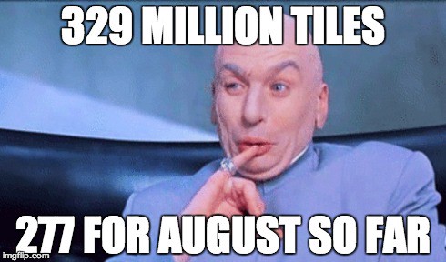
The other thing to announce is that while the development of the project was graciously funded by Knight, we’ve realized that 4 billion tiles doesn’t just fall off the back of the truck. As of today we’re gratefully accepting donations from those who find the service useful, or those to whom it brings joy. You can sign up for recurring donations as well, and I hope you will. Thanks in advance for your support of this amazing project!
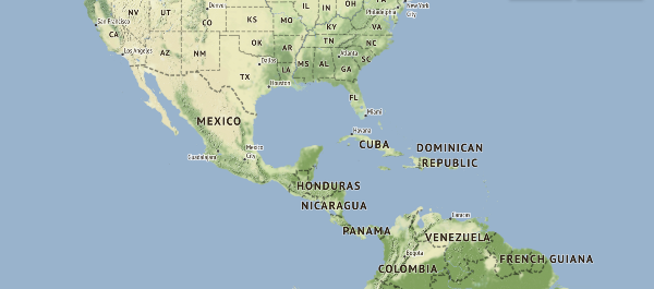
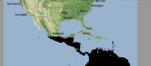
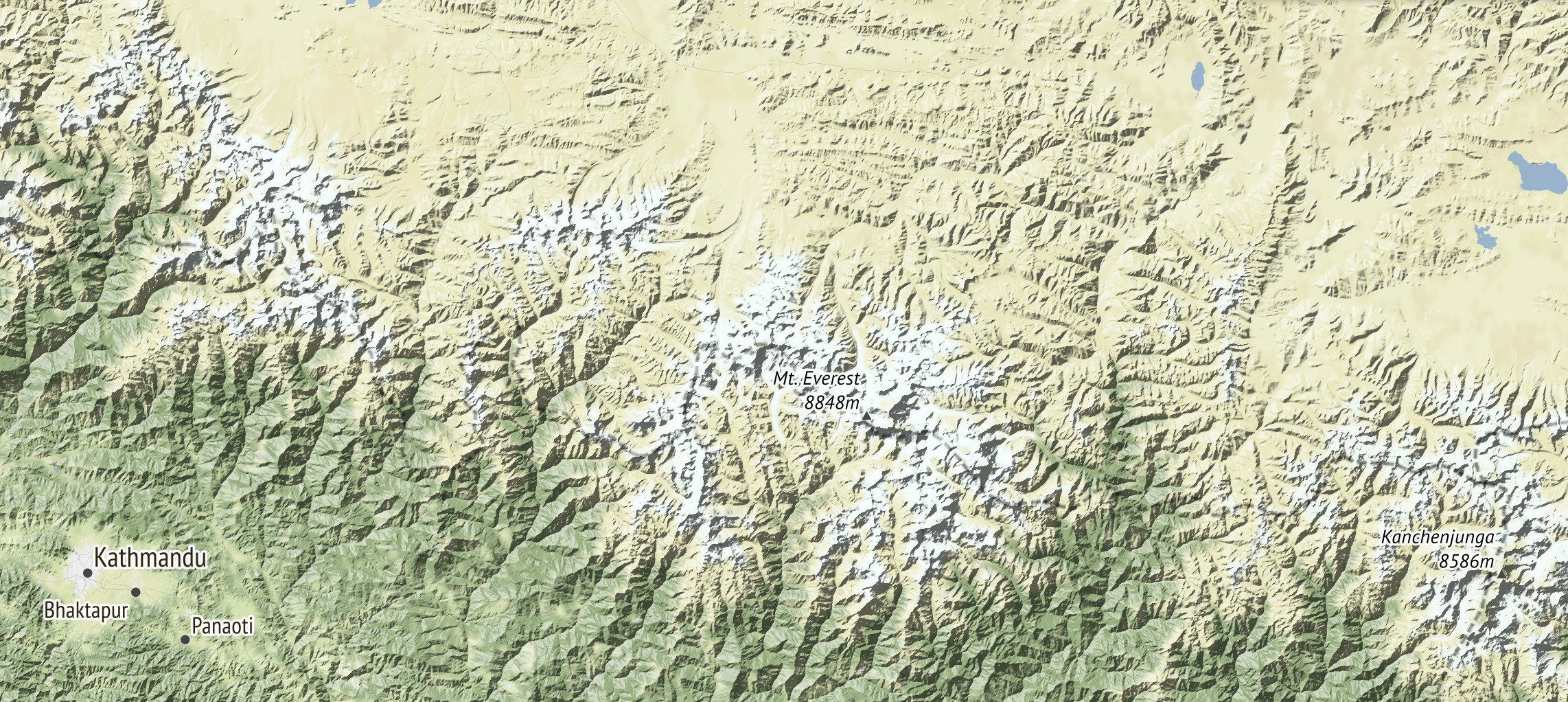
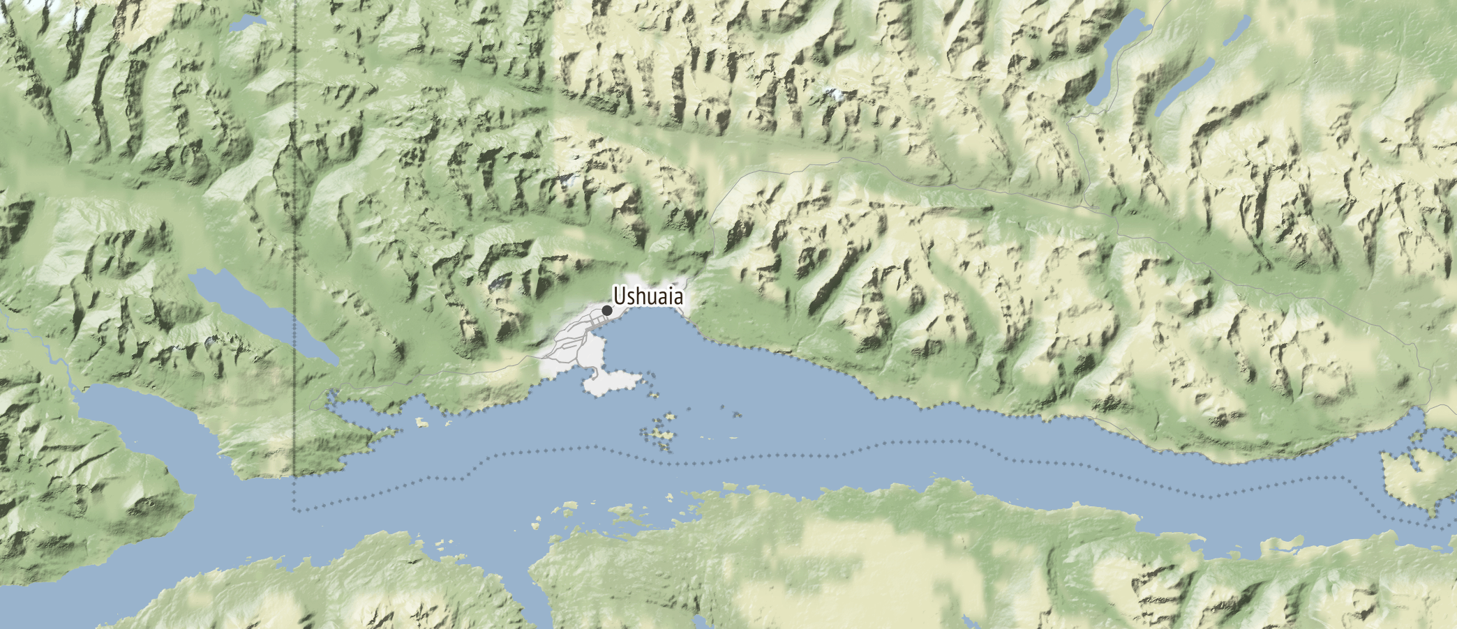
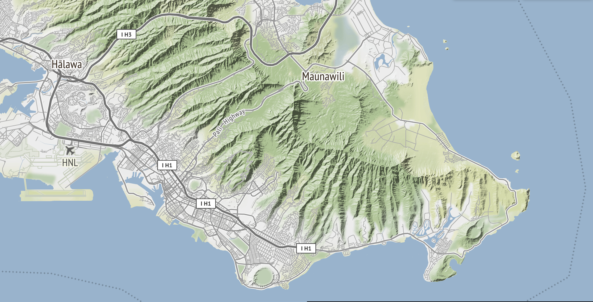
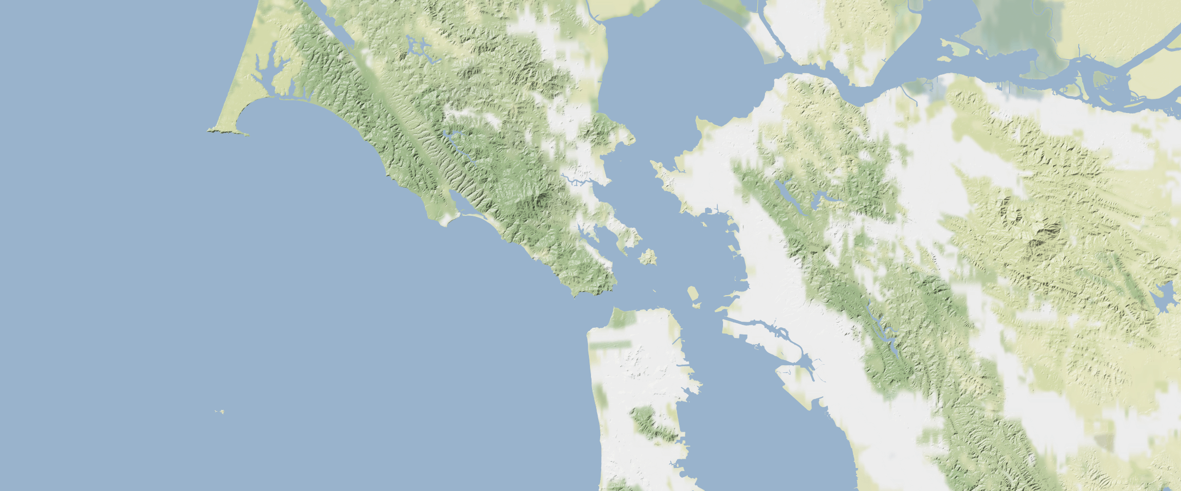
And so: to the maps! The caption to each of these is a link to a live version of the project. I hope you enjoy these and find them useful, and that you’ll consider contributing to the project, if that’s how you roll.
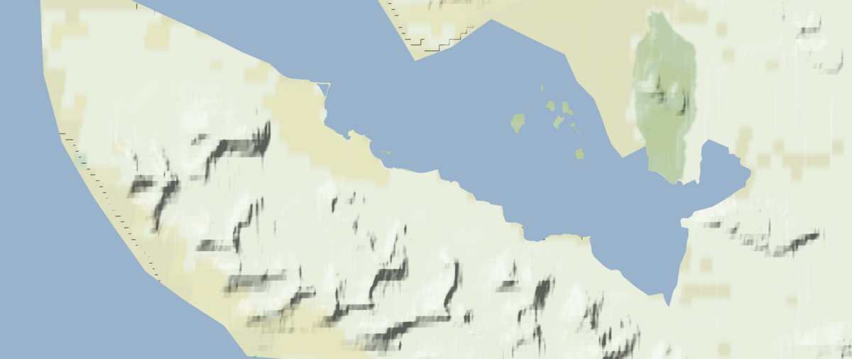
In some places, the data’s still pretty rough. Like Ny-Ålesund, in Norway, home of the world’s northernmost post office. But that’s OK. If I know anything about this landscape it’s that things get better over time.
We’re planning some more blog posts that go into detail about some other aspects of the project, like:
- technical & design process of the new build
- ways that small companies like Stamen can leverage some new things about how web services are deployed to easily scale these services down during times of low use, not just up during times of spike traffic
- how you can roll your own maps
- how to contribute to and benefit from the other side of the grant, which is to maintain a complete and easy-to-access collection of free and open source high quality terrain data
But that will come in time.